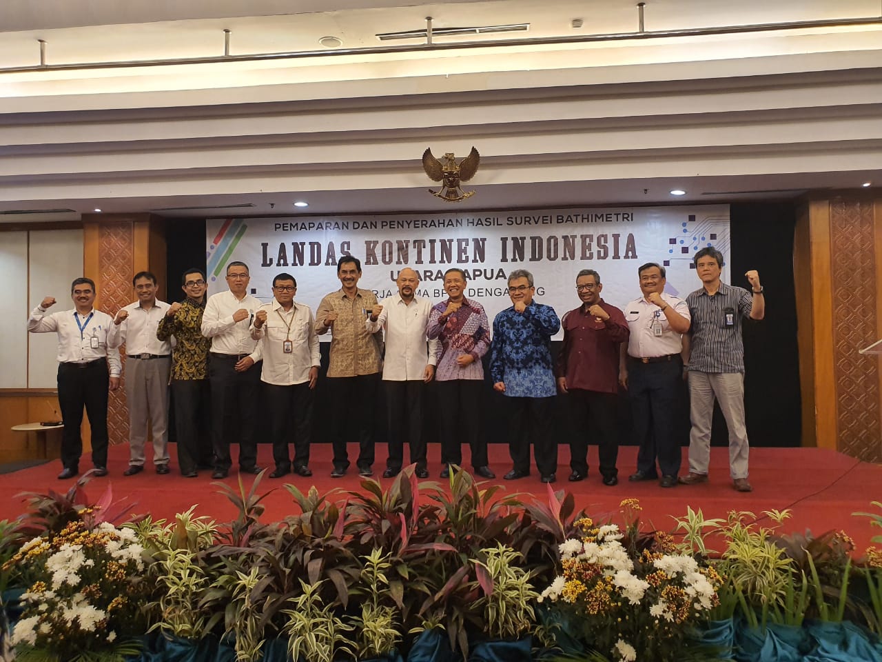
Jakarta, Geospatial News - The Agency for the Assessment and Application of Technology (BPPT) submitted the results of a bathymetry survey to determine the outer boundaries of the Indonesian Continent (IFI) in northern Papua waters to the Geospatial Information Agency (BIG). The survey was conducted using the Research Ship (KR) Baruna Jaya I owned by BPPT which was released to the northern waters of Papua on 10 April.
"The results of this survey are to strengthen our submission to the United Nations (UN) which will be tried in 2020," said BIG Chief Hasanuddin Zainal Abidin during the submission of the report on the implementation of the Indonesian Continental Bath (LKI) bathymetry survey in northern Papua which was held at Grand Sahid Jaya , Jakarta, Tuesday, October 29, 2019.
On this occasion, Hasan explained that the waterway traversed in the survey was 6,800 kilometers long. "If there is an expansion of continental shelf, the country has additional seabed areas and can manage the content of natural resources in the seabed, such as oil and gas," Hasan said.
Based on the report of the survey conducted in July-September 2019, it was proven that there was a bridge (saddle) that connects the plain of Papua with the eauripic rise which is commonly called the continental shelf as a natural extension of the two plains. The evidence can be seen from the visualization of DEM which was formed as one of the results of bathymetry data processing. The survey data strengthens the DEMNAS data used in submission documents that have been submitted to the UN Commission on the Limits of the Continental Shelf (CLCS) in New York.
Meanwhile, Head of BPPT Hammam Riza explained that the survey was deliberately conducted using KR Baruna Jaya I which was equipped with the Multibeam Echosounder Teledyne Hydrosweep DS system. The tool is capable of measuring to depths of more than 10 thousand meters.
"We hope to get a complete picture of the seabed morphology of the survey area. That will be used to determine the Foot of Slope points in the context of delimitation of the outer boundaries of the IFIs in the northern waters of Papua," Hammam said.
For information, basically a country has continental shelf rights up to 200 miles from the coastline or base of the islands. The limit can increase up to 350 miles if the country concerned can prove scientifically that the additional area of the existing continental shelf is a natural continuation of the country.
In order to collect supporting data on proposals for additional continental shelf areas in northern Papua, BPPT and BIG agreed to conduct a survey. The teams involved in the survey were not only BNPT and BIG, but also personnel from the Coordinating Ministry for Maritime Affairs; Ministry of Energy and Human Resources; Marine and Fisheries Ministry; Meteorology, Climatology and Geophysics Agency; Indonesian Institute of Sciences; Center for Hydrographic and Oceanography of the Indonesian Navy; November 10 Institute of Technology; and Diponegoro University.
The survey was conducted in two stages in two areas. The first stage was carried out in waters around Papua for 23 days. Meanwhile, the second stage is done outside the 200-mile Exclusive Economic Zone (EEZ) for 15 days.
The submission of the report on the implementation of the North Sumatra IFI bathymetry survey by BPPT to BIG was also attended by BIG Chief Secretary Muhtadi Ganda Sutrisna, BIG Geospatial Information Deputy Mohamad Arief Syafii, Head of the BIG Yosef Coastal Marine and Environment Mapping Center Dwi Sigit Purnomo, and Head of the BIG Ade Boundary Mapping Center Komara Mulyana. (NN/NIN/TR)
