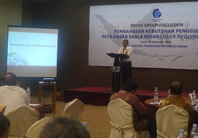
Geospatial News, Jakarta - Thematic Geospatial Information Deputy for Geospatial Information Agency (BIG) Antonius Bambang Wijanarto is optimistic that large-scale mapping of all regions of Indonesia can be completed. He explained how technology had greatly developed and could be utilized to help the acceleration process.
"It's not just an acceleration, we need a leap, we need an extraordinary thing," said Antonius in the Focus Group Discussion (FGD) Discussion on the Needs of Large Scale Base Map Users in Jakarta, 30 September 2019.
Antonius said that the development of global trends in positioning technology is getting more precise. Not only that, artificial intelligence, machine learning, and deep learning have developed rapidly. It can contribute a great power to the geospatial field.
"Automation is needed. Including automation in data acquisition and mapping. This opens up opportunities for leaps and bounds. This must be the concern of all parties, both government and private sector involved in the field of geospatial services and products, "Antonius explained.

To be effective, geospatial information must be connected with statistical data and other unstructured data. Issues of climate change, drought, and defense and security require geospatial information.
Antonius hoped that data acquisition at sea was also touched because his needs were also urgent. The data is needed for natural resource management. The government uses it to calculate the balance of natural resources. If the ability of each region can be measured with measurable, old resources can be better managed.
"Whatever will be. Large-scale base maps throughout Indonesia must be wiped out. Including the sea, "said Antonius. (MAD)
