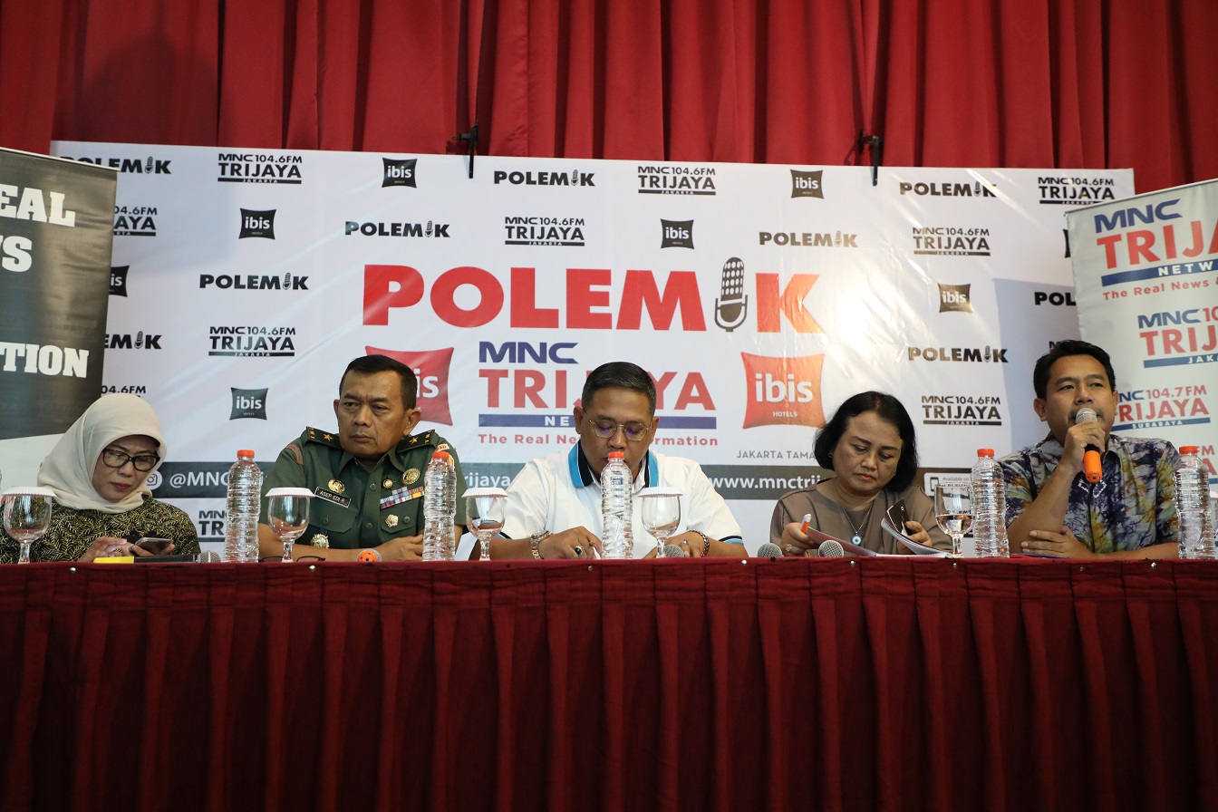
Hotel Ibis, Jakarta - Indonesia and Malaysia still have problems since 40 years ago, from 2000km of land boundaries in North Kalimantan leaving 9 locations that have not been agreed upon, this is called an outstanding bordering problem, this is due to the changing interpretation of national borders between the British and Dutch agreements when power over Indonesia and Malaysia.
The live radio broadcast held by MNC Trijaya at the IBIS Tamarin Hotel, Central Jakarta, presented Brigadier General Asep Edi Rosidin, Director of the Indonesian Army Topography, Ganewati Wuryandari Head of the LIPI cantonal research center, as well as speakers from the Geospatial Information Agency represented by Wiwin Ambarwulan, Head of Promotion Center and Cooperation and Ade Komara, head of the Boundary Mapping Center.
In the first segment of the Talkshow moderated by Margi Syarif, Wiwin Ambarwulan explained the role of BIG in general in providing geospatial information as the main data most needed in the process of determining national borders.
"Our role is technical institutions that provide basic geospatial information. Together with the TNI, they conduct an analysis of the position of border positions between countries. "Said Wiwin.

As stated in international law, a country inherits the territory inherited by its colonizers, Indonesia with Dutch heritage while Malaysia with Britain.
Therefore, in determining the Indonesia-Malaysia boundary, the State refers to agreements between Britain and the Netherlands in several documents made in the 1800s to 1900s.
"However, of the thousands of kilometers (Regional Boundaries) there are 9 points that have not been agreed upon. Because the last boundary was drawn in the 1970s, there are therefore areas that have not been agreed between the two countries, "Ade Komara explained.
With the outstanding bordering problem in the region, the Government is conducting a joint working group with Malaysia to solve this problem. The two parties routinely meet to settle 9 areas that are still OBP (with a composition of 4 regions in the north of West Kalimantan and 5 regions in the north of North Kalimantan).
In 2019, the 5 regions in North Kalimantan have now come to light, even in 2 regions they have been agreed by the two countries. The point is in the Simatipal river segment with a disputed area of 4500 hectares. Next is the C500-C600 pillar segment with a 400-hectare dispute area.
While those in the process of work are Sebatik Island and Segments 4 and 5 on the Sinapad River. The plan is to re-measure coordinates in the Sinapad watershed next year in the region.
In the last 2 years, Indonesia has taken a formal or informal approach to collect and exchange data between Indonesia and Malaysia.
