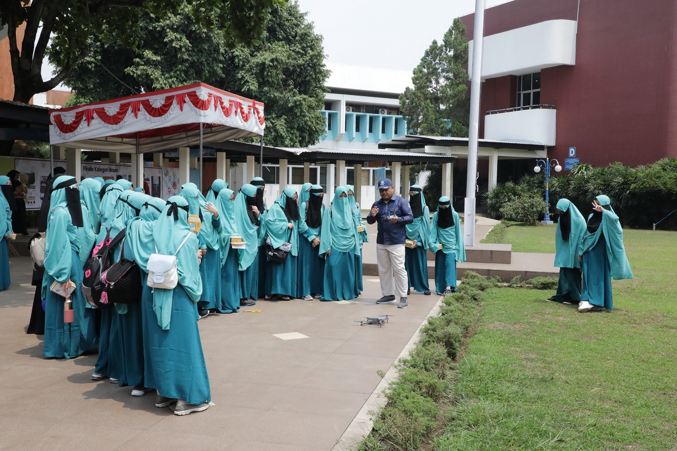
Cibinong, Bogor - On Thursday, 31 October 2019, the Geospatial Information Agency received a visit from Depok's Ibnu Hajar Boarding School. A total of 31 9th grade students took part in a series of activities held in Building C, the Research, Promotion, and Collaboration Center, starting with a brief explanation of the history and profile of BIG by Dian Ardiansyah.
According to Dian, Indonesia has wealth from Sabang to Merauke so it must be utilized as well as possible. This is where more new surveyors are needed. Because the number of available human resources is still far from ideal.
The activity continued with the presentation of material by Inggit Diah Novitaningrum from the Topographical Mapping Center and Toponym, about topographic maps to the manufacturing process. Starting from the data acquisition which is done in several ways such as aerial or cadastral photographs to the process of making maps to digitize.

In between his presentations, he also conducted a question and answer interaction about the scale of the map with the students. This was responded enthusiastically from students who were able to answer the questions raised.
Atlas and national mapping are the third material presented by Amanah Anggun from PTRA. He explained about the various atlases that have been produced by BIG.
Mega Setia, Ibnu Hajar Middle School teacher revealed that this was her first experience to come to BIG. The presentation delivered by the speakers was considered very clear and detailed in each session so that it could be well received by the students.
"Thank God for the good reception from BIG, hopefully in the future, we can visit more often so that children will get to know more about what Geospatial information is from an early age," Mega said.
This activity was concluded with a demonstration of the use of drones in the main field of BIG. (FR)
