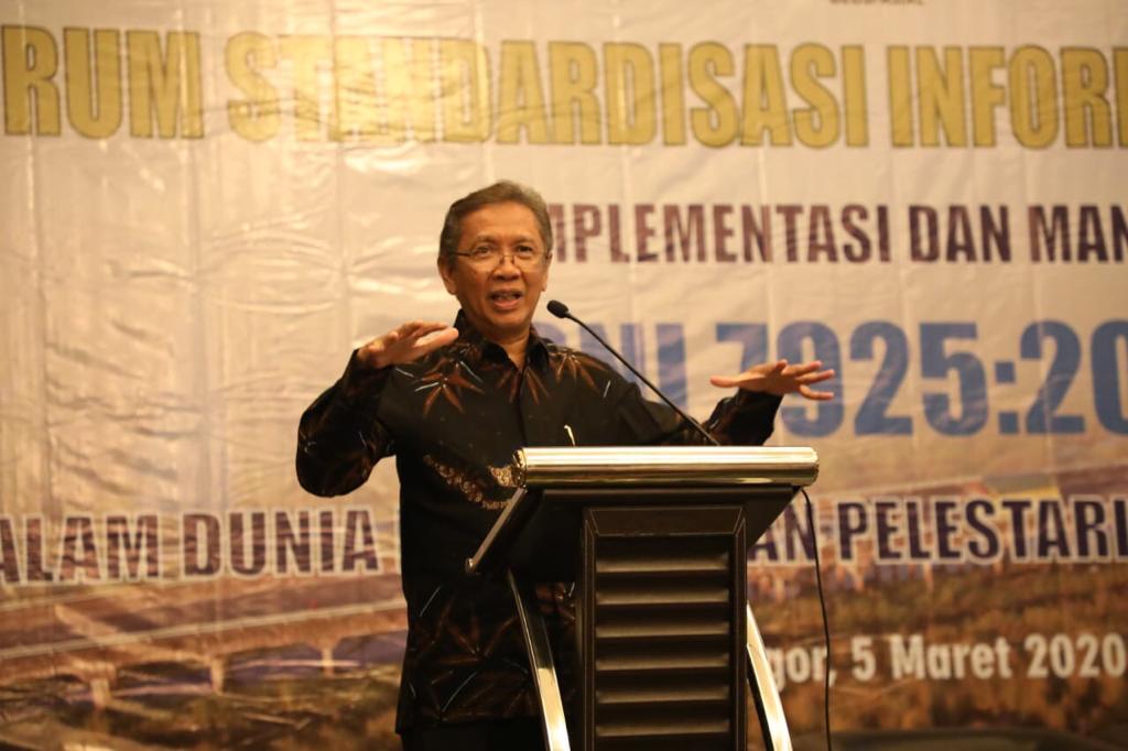
The issuance of SNI 7925: 2019 encourages peatland conservation. Through this SNI, each party now has a reference standard to map 1: 50,000 scale peatlands based on remote sensing imagery.
Head of Geospatial Information Agency Hasanuddin Zainal Abidin stated that one of the advantages of having SNI 7925: 2019 is that the government is not alone in mapping peatlands. SNI 7925: 2019 encourages participatory mapping from the public and government partners.
"In this world, there is always a tug of war between environmental conservation and economic development. We need to find a win-win solution. Therefore this standard becomes necessary, "Hasanuddin said when opening the Geospatial Information Standardization Forum: Implementation and Benefits of SNI 7925: 2019 in the Industrial World and the Conservation of Peat Ecosystems at the IPB International Convention Center, Thursday (5/3/2020).
The availability of a 1: 50,000 scale map of peatlands is expected to help record the characteristics of bogs and widely inform them to the public. Thus, we hope that safeguards on peatlands will become more tangible and sustainable.
For the record, the Ministry of Forestry and Environment data shows there are 865 Peat Hydrological Units (KHG) in the peat ecosystem. KHG has an area of 24,667,804 Ha, divided into an Indicative Function of Peat Ecosystem Protection covering 12,388,482 hectares and Indicative Function of Peat Ecosystem Cultivation covering 12,268,321 Ha. The existence of this protection and cultivation function proves that the peat ecosystem is a strategic part of the constellation of spatial planning and natural life and living things.
Not many people know that peatlands and biodiversity within and above the surface are vital for the sustainability of natural life and support the welfare of the surrounding population. In the context of environmental services, peatlands and their ecosystems can regulate water management and carbon storage, which functions as an essential counterweight to climate.
Increasingly limited productive land, making peatlands began to be glimpsed by industry players. They began converting peatlands into production plantations such as oil palm and acacia. Peatlands are drained by burning, which is one of the sources or causes of forest and land fires in Indonesia. This irregular conversion of peatlands can result in a decrease in groundwater level and a large impact on the possibility of flooding. (RD / MAD / RKI)
