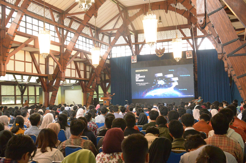
 Bandung, Geospatial News - Head of the Geospatial Information Agency Hasanuddin Zainal Abidin gave a speech in Studium Generale KU-4078 at West Hall of the Bandung Institute of Technology, 29 January 2019. In front of students, he explained the use of geospatial information for sustainable development in Indonesia.
Hasanuddin explained the world had entered the era of digital transformation. The geospatial information field also experienced it, and it changed many businesses process while rendering new challenges. Now we are dealing with vast amounts of data. We need data scientists to take us out of the current problem.
"Revolution 4.0 should not only be limited to jargon. We must become a significant player in this change, "explained Hasanuddin.
To prepare for changes, Hasanuddin encourages students to learn new technologies, including artificial intelligence, machine learning, and blockchains. He also welcomed the idea of the Kampus Merdeka because it would support the acceleration of meeting the needs of human resources in the field of geospatial information.Indonesia is a vast country, yet it still lacks 20,000 human resources in the geospatial information field. The shortcut solution is to import labor from other countries, but that will cause social problems. For this reason, we need more efforts to encourage domestic geospatial HR, "Hasanuddin explained.
In addition to providing an overview of geospatial information in the future, Hasanuddin explained how development in Indonesia has now made geospatial information one of the main pillars of development.
"Development is based on the THIS concept, thematic, holistic, integrative, and spatial. Bappenas requested that all development plans must be on the map, "Hasanuddin said.
According to him, maps play an important role in decision making. He gave an example of a map of raw paddy fields. In addition to providing data on how vast rice fields are in Indonesia, the data also determines how much subsidy for seeds and fertilizers. Moreover, the data can illustrate Indonesia's production capacity, which will lead to decisions on how much rice export or import.
Studium Generale is not only attended by geodesy and geomatics engineering students. Students from other study programs in attendance included students from civil engineering, planology, geology, and mathematics. (MAD)
