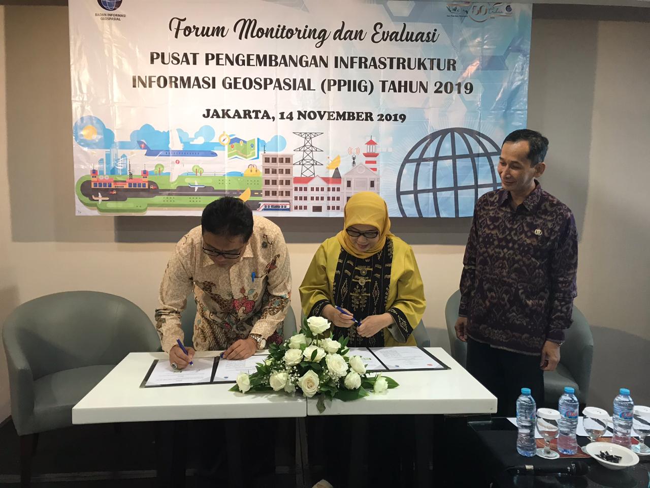
Jakarta, Geospatial News - The journey of the Geospatial Information Infrastructure Development Center (PPIIG) which was previously known as the Spatial Data Infrastructure Development Center (PPIDS) has been more than a decade, starting from the initial pilot in 2005 between BIG and ITB, until today today. in 2019 by making the University of Jambi (UNJA) the 23rd PPIIG, it has carried out many beneficial activities in raising GIs in the regions. Either through activities in the name of cooperation between BIG through the SKIG Center as the supervisor of PPIIG or purely carried out by PPIIG itself.
Judging from the historical point of view, the PPIIG nomenclature emerged after the issuance of Geospatial Information Agency Regulation No. 2 of 2019 on the Center for Geospatial Information Infrastructure Development (PPIIG), this has the consequence that all PPIDS will change their name to PPIIG with the terms and conditions as stipulated in the Agency's Regulation . And in its implementation, a PPIIG was formed by BIG in collaboration with various Universities to help foster regional networks in the context of the development of the National Geospatial Information Network (JIGN).
In the period 2005 to 2019, 22 PPIIGs have been built throughout Indonesia, where each PPIIG is located in a Provincial State University with details: 7 PPIIG in Sumatra, 3 PPIIG in Kalimantan, 5 PPIIG in Sulawesi region, 5 PPIIG in Java and Bali, and 2 PPIIG in Ambon and Papua. And on the occasion of the 2019 PPIIG Monitoring and Evaluation Forum held at the Jakarta Century Park Atlit hotel, the number of PPIIG increased with the entry of the University of Jambi (UNJA) to be the 23rd youngest PPIIG after the signing of a memorandum of a cooperation agreement between BIG and UNJA This morning.

The increasing number of PPIIGs from year to year certainly has an impact on the management process, we can only see from the positive side, the increase in the number of PPIIG can be the potential for disseminating ideas related to GIs in many governments and community environments, so that it is expected that in various aspects of life the use of IG is increasingly many used.
A large number of PPIIG results in an increase in the number of activities as a whole, this, of course, must be balanced with the process of control over the implementation of the said activities. Control of activities in the form of monitoring and evaluation of the work program carried out by each PPIIG that is fostered by BIG has been routinely carried out.
In addition to conducting monitoring and evaluation activities for the entire PPIIG, on this occasion in 2019 also carried out measurements on the implementation of JIGD activities that have been carried out by 5 selected PPIIG, namely: UNDIP, UNP, UNTAN, USU, and UNSYIAH, in front of the PPIIG monev forum. The five PPIGs were selected based on the results of the assessment of proposals submitted to BIG at the beginning of 2019 ago, then poured in the Minutes of Agreement Number: B-11.2 / SKIG / IIG.02.02 / 1/2019.
The implementation activities of the five PPIIGs mentioned above are:
Also given the opportunity for each PPIIG selected above to give a presentation related to the results of the program that has been proposed in the talk show session in the afternoon.
In addition to carrying out monitoring and evaluation activities and signing of cooperation, at the initial session of today's event a talk show with the theme "IG HR Certification Mechanism and the Establishment of TUK by Professional Certification Institutions (LSP)", by presenting material related to IG Professional Personnel Certification System (delivered by Head of HR and Industrial Development IG - BIG), Resource Requirements (TUK and Examiners) at the Professional Certification Institute (LSP) ISI Mapping Survey (submitted by LSP ISI), and Resource Requirements (TUK and Examiners) at Person Certification Bodies ( LSP) Indonesian Professional Geography (submitted by LSP GEOPROF). (DA)
