Bandung, Geospatial News - With the Presidential Regulation Number 39 the Year 2019 concerning One Data, currently all data managed by each central and regional government agency must be integrated with one another, including geospatial information data.
For this reason, the Geospatial Information Agency (BIG) as the agency responsible for the administration of Geospatial Information (IG) in Indonesia, always encourages regional governments (local governments) to strengthen the dissemination and utilization of GIs as large as possible.
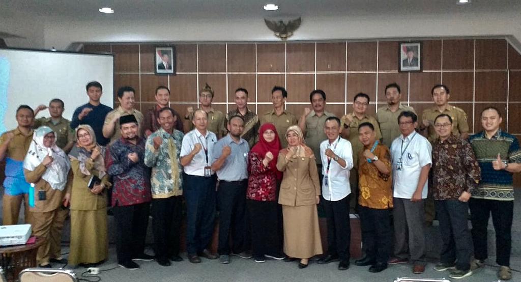
Tuesday (12/11) at the Regional Secretariat Building (Setda) of Bandung West Java Regency, BIG together with the Bandung Regency Government, held a Follow-Up Cooperation Coordination Meeting between the Bandung Regency Government and the Geospatial Information Agency.
The event that took place in the Sawala Room was attended by a number of Regional Apparatus Organizations (OPD) of the Bandung Regency Government which dealt with the administration of geospatial information, as well as the Agency for Assessment and Application of Technology (BPPT), because the Bandung Regency Government will also follow up with BPPT.
Head of the Bandung Regency Bappeda Research Division, Lilis Nurhayati said that this event was the next step or implementation of a Joint Agreement (MoU) that had been signed by the Bandung Regent with the Head of the Geospatial Information Agency, some time ago.
Lilis also explained that Bandung Regency had a vision of "Strengthening the Bandung Regency that is Advanced, Independent and Competitive, through Good Governance and Synergy in Rural, Religious, Cultural and Environmental-Based Development", for that the signed MoU needs to be followed up immediately through in a cooperation agreement. Cooperation that will be carried out includes an increase in human resources in the field of geospatial, regional mapping and implementation of the Regional Geospatial Information Network Node in Bandung Regency.
In the meantime, Head of Promotion of Geospatial Information Agency Cooperation Sri Lestari Munajati revealed that the collaboration between BIG and various local governments is a form of commitment from BIG, to create an accurate and accountable and easily accessible data. "With the One Map Presidential Regulation and the One Data Perpres, the implementation of cooperation between BIG and the Regional Government must be faster and more effective," he said. The most important thing is that the data held by the data producer agencies can be shared for sustainable development in Indonesia.
In the follow-up to the collaboration between BIG and the Bandung Regency Government, various Geospatial Training was also explained by the Head of the Geospatial Training Center, Sigit Murjati. Various types of education and training can be followed by the Bandung Regency Government including Basic GIS, Advanced GIS, Spatial Mapping, Village Mapping Kelurahan, WebGIS and so on. Also added by Sri Lestari regarding the mapping of village / kelurahan administrative areas, large scale mapping, verification of paddy land and sharing of geospatial data and information through the National Geospatial Information Network.
The Co-ordination Follow Up Coordination Meeting which took place was quite effective, closed with interactive discussion and questioning about geospatial information and its use with the relevant OPD and continued discussion after the coordination meeting was completed regarding the GCP survey and orthorectification of the latest high-resolution satellite imagery for RDTR mapping in Bandung Regency. [AR / TR]
