Geospatial News, Bogor - Geospatial information is increasingly needed. This is evidenced by the number of applications and startup companies that use geospatial information as a backbone in their business processes. This shows that opportunities in the field of geospatial information are wide open and become a very interesting field to work on.
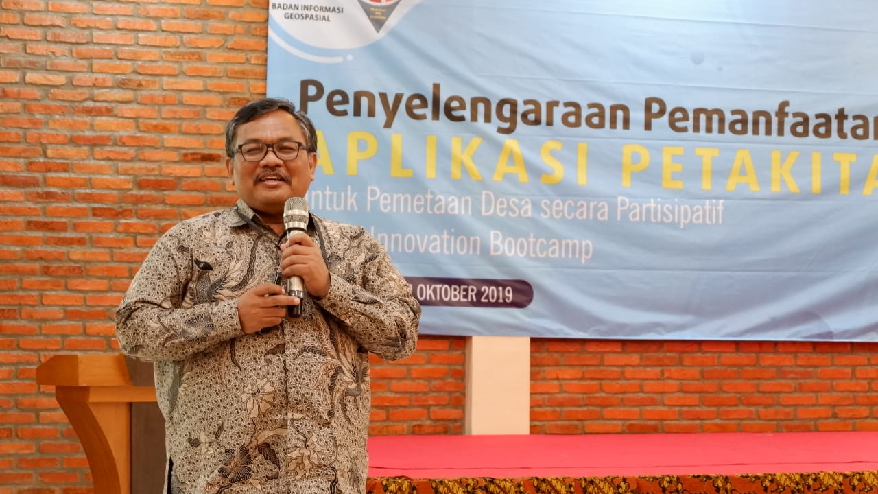
"In the past, before there was a smartphone every time we came to a new location, we had to ask every turn. Now, with accurate geospatial information, we can arrive without asking. This saves a lot of time, "said the head of the BIG Khafid Geospatial Information Management and Dissemination Center when presenting the opening report on the 2nd GeoInnovation Bootcamp event with the theme" Organizing the Utilization of Our Map Application "in Bogor City, 15 October 2019.
According to Khafid, in the future geospatial information will be increasingly utilized extraordinarily. For example for autopilot vehicles, the geospatial information needed does not only stop at 2 dimensions, 3 dimensional space becomes very relevant.
For this reason, he hopes the millennial generation must have an attitude and mindset as an innovator. "One of the goals of the GeoInnovation Bootcamp is to provide a trigger for young people to innovate in the field of geospatial information," Khafid explained.

The public can participate in supporting the organization of national geospatial information through participatory mapping. The mapping process is carried out independently will cut costs and time of manufacture.
Khafid also gave an example of the need for village maps. According to him, there is a lot of potentials that can be extracted from the village map. "Until now, BIG has only been able to trace the village boundaries, even with extraordinary efforts. In addition, there are many themes that can be raised on the village map to be worked on by people in the region, "he explained.
In addition to following the judging, the 20 finalists of the 2nd Geo Innovation Bootcamp will take part in a panel discussion on "Participatory Village Mapping in Supporting One-Map Policy for Sustainable Development in Indonesia" which presents experts and those who have experience in the field of participatory mapping. (MAD)
