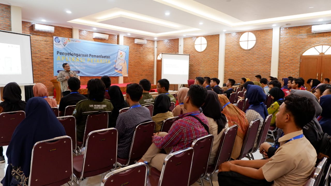
Geospatial News, Bogor - GeoInnovation Bootcamp enters its final round. The finalis were selected to take part in the final judging held in Bogor City, 15-16 October 2019. At the GeoInnovation Bootcamp with the theme "Organizing the Use of Our Map Application," there were 20 finalists selected from a total of 80 registered groups.
Deputy for Geospatial Information Infrastructure Adi Rusmanto said that the Geo innovation Bootcamp is a BIG effort to encourage participatory mapping. "The community must be the perpetrators. With participatory mapping, the community can determine themes as well as become planners of their own regional development, "Adi explained in his remarks as well as opening the event.
In addition, according to Adi, through participatory mapping, the community is aware of their rights and role in the use of geospatial information. BIG will prepare governance, rules, and standards so that the community can also make use and correction of geospatial information generated by BIG and other data holders.
The Head of the Khafid Geospatial Information Management and Dissemination Center as the person in charge of the activity stated that this activity intends to provide a trigger for millennials to become innovators in the geospatial field.
"At present geospatial information is needed. Utilization by the startup is extraordinary. Online shopping, online transportation requires accurate geospatial information. In the future, not only 2 dimensions, but we also need 3-dimensional geospatial information, "Khafid explained.
In this race, each participant made use of the Map of Kita application developed by BIG. Khafid advised the participants to give suggestions and criticisms for the development of the Map Kita application. (MAD)
