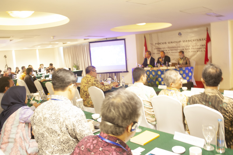
Geospatial News, Bali - To explore the availability of the latest technology that can be used to accelerate large-scale basic mapping, the Geospatial Information Agency (BIG) is holding a Focus Group Discussion (FGD) themed Advanced Technologies for Accelerating the Data Acquisition and Production of Large-Scale Basemaps ( 1: 5,000 and 1: 1,000) in Bali, 8 to 11 October 2019. At the FGD, BIG invited global technology providers for the geospatial industry and academics.
Deputy of Basic Geospatial Information Division Mohamad Arief Syafi'i stated, in five years, a large scale map covering all regions of Indonesia must be completed. Although heavy, he is optimistic that the mandate can be completed on time.
"We have to work together. Existing technology must be combined to achieve the acceleration goal, "said Arief opening the event.
Head of the Large Scale Mapping Acceleration Team Ade Komara said that the large scale referred to in this activity was more than just zooming in on maps that are now available in digital format. BIG requires a large scale geometric base map.

"The larger the scale, the resulting data must be more accurate and the level of detail on the maps produced must be even higher. We want large-scale maps with appropriate geometry specifications, "said Ade.
He also conveyed some of the challenges faced in the implementation of large-scale mapping acceleration later. First, Indonesia is a vast country. Although two-thirds of its territory consists of water, the land area that needs to be mapped reaches 1,892,000 square kilometers.
In addition, some regions of Indonesia are always covered with clouds throughout the year. This makes the process of mapping using satellite imagery less effective. Large scale mapping of 1: 5,000 will be prioritized in urban areas (areas outside the forest) reaching 660,000 square kilometers.
The focus group discussion focused on several key themes, namely technology acquisition and data processing systems; data management technology and map production; system integration and geospatial data infrastructure; and data sharing and management systems. (MAD)
