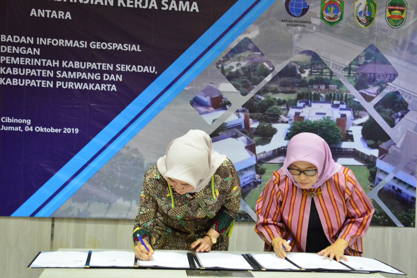
Cibinong, Geospatial News - Utilization of Geospatial Information is something that must be carried out optimally, especially in development planning in an area. At the signing ceremony of the cooperation that was held on Friday (04/10) BIG together with several local governments of Sekadau and Sampang realized the importance of this matter.
The Head of the Promotion and Cooperation Research Center BIG Dr. Ir Wiwin Ambarwulan M.Sc said that currently, BIG is continuously striving to raise awareness of the importance of Geospatial Information, especially to local governments.
According to him, since 2015 BIG has consistently coordinated with the Ministry of National Development Planning / Bappenas in carrying out its main tasks and functions, therefore National Development Planning must be based on spatial data and statistical data.
"As we know, the current paradigm of rural development must meet thematic, holistic, integrative and spatial aspects, so that we can see that the need for IG is not negotiable anymore," Wiwin said, in the event that took place at the BIG Cibinong Office, Bogor, West Java.
Meanwhile, the local government, represented by the regional secretary, said that currently Geospatial Information is needed, not least by the district that is located in the province of West Kalimantan.
"Sekadau Regency Government wants to collaborate with BIG, especially regarding verification of mapping and confirmation of village boundaries in our region," Zakaria said.
He added that village boundary verification was a must because spatial village boundaries had been verified, development planning would be more effective and efficient.
While the Government of Sampang Regency, East Java, which was represented on this occasion by the Head of the Research Bappedalitbang Kustantinah, revealed that in this MoU signing activity the Sampang Regency concentrated on making village maps in Camplong sub-district in Sampang Regency, East Java.
Collaboration and integration between the Geospatial Information Agency and the government of Sekadau Regency and Sampang Madura is one of the applications of Law No. 4 of 2011 regarding Geospatial Information in which there is a mandate regarding BIG's duties and functions to utilize and disseminate Geospatial Information to local governments. (/ AR).
