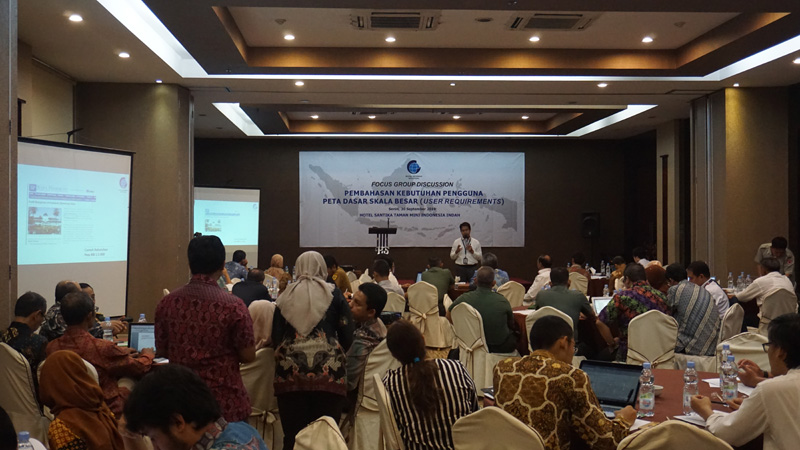
Geospatial News, Jakarta - The lack of availability of Large Scale Maps in Indonesia is of particular concern to the Geospatial Information Agency (BIG). BIG has formed a Large Scale Mapping Acceleration Preparation Team whose task is to prepare an action plan for completing a large scale 1: 5,000 mapping covering all regions of Indonesia.
The Head of the Boundary Mapping Center Ade Komara was appointed as the team leader. In the Focus Group Discussion activity to discuss the needs of large scale base map users in Jakarta, 30 September 2019, Ade explained the scenario to be implemented.
"This FGD is trying to explore the needs of the user side. We want to be able to input. So please convey the programs in the Ladies and Gentlemen, "said Ade to all FGD participants coming from ministries, agencies and local governments.
From the results of the FGD, the team will formulate the standards and specifications of the large scale map needed in the next five years. From there, it can be determined which technology can meet the requirements of these specifications.

"In the next two weeks, we will hold an FGD that invites global mapping technology providers. If the technology has been defined, what kind of production system, we will need human resources and also an institutional form to implement the technology, "said Ade.
Given the global companies that will be included in the formulation of this plan, data security becomes important. Therefore, efforts will be made to ensure that Indonesia's geospatial data does not leave Indonesia. This means that the data must be processed at BIG. For this reason, BIG plans to build a map production center facility in Cibinong.
"A lot of news shows that this nation is starting to become aware of geospatial information. "Tourism, spatial planning, investment, and so on have a high need for large-scale base maps," Ade explained, highlighting the urgency of high needs for large-scale maps. (MAD)
