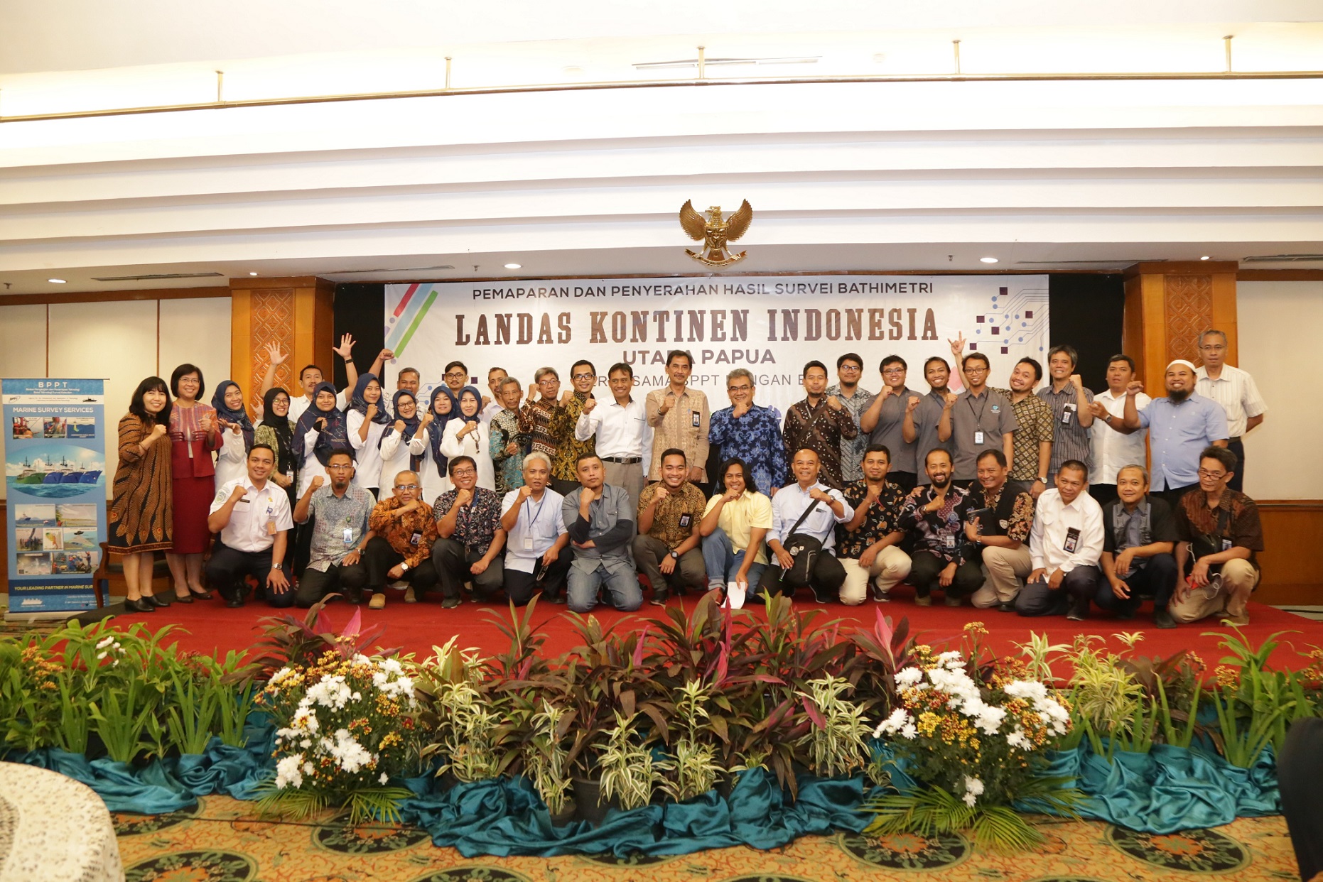
Jakarta, 29 October 2019 - Indonesia is trying to expand its sovereign territory by proposing an additional continental shelf area beyond 200 miles in northern Papua to the United Nations. This continental shelf provides sovereign rights in the form of the right to manage the seabed and the natural resources contained therein such as oil and gas. Basically a country has continental shelf rights up to 200 miles from the coastline or from the base of the islands. This right can increase up to 350 miles if the country concerned can prove scientifically that the additional area of the continental shelf is a natural continuation of the country.
Indonesia has completed the preparation of documents on the claim of the continental shelf in the northern region of Papua in 2018 and was submitted in early 2019 to the UN-CLCS (United Nations Commission on the Limits of the Continental Shelf). Indonesia is scheduled to present this submission at the UN-CLCS session in early 2020.
To collect supporting data for proposing additional areas, a continental shelf survey was conducted outside 200 nautical miles north of Papua. This activity is one of the National Priority activities carried out by the Geospatial Information Agency (BIG).

The continental shelf survey was carried out from July to September 2019 using the BPPT Baruna Jaya I research vessel, as a form of collaboration between BIG and BPPT through self-management cooperation between government agencies. The activity is not only BIG's work but it is a joint activity of the national team to determine the Indonesian continental shelf beyond 200 nautical miles, therefore this survey in addition to BIG and BPPT also involves inter-ministerial institutions including the Navy Navy Pushidros, P3GL Ministry of Energy and Mineral Resources, KKP, BMKG, P2O LIPI .
On this day, 29 October 2019, submission of the results of the continental shelf survey data from BPPT to BIG in Jakarta.
The survey activities that have been carried out are mainly to be able to prove whether the Eauripic Rise is a natural prolongation of the Papua landmass. This test of appurtenance is one of the first important points that must be proven by a coastal country submitting whether the coast state has a natural extension from its land area to the outer edge of the continental shelf beyond the line drawn at a distance of 200 nautical miles from the baseline where the sea territorial measured. In addition, this survey also intends to verify the foot of slope against the data that has been submitted in the submission document.
The total continental shelf area beyond 200 nautical miles conveyed in the submission document is 196,568.9 km2. And this is greater than the continental shelf area beyond 200 nautical miles in western Sumatra which is only 4,209 km2. However, there are submission areas that overlap with similar submissions by 3 countries, namely the FSM (Federated States of Micronesia), PNG (Papua New Guinea) and Palau.
Pusat Pemetaan Kelautan dan Lingkungan Pantai
Telp : 021-87901255
Pusat Pemetaan Batas Wilayah Badan Informasi Geospasial
Telp : 021-8754654
