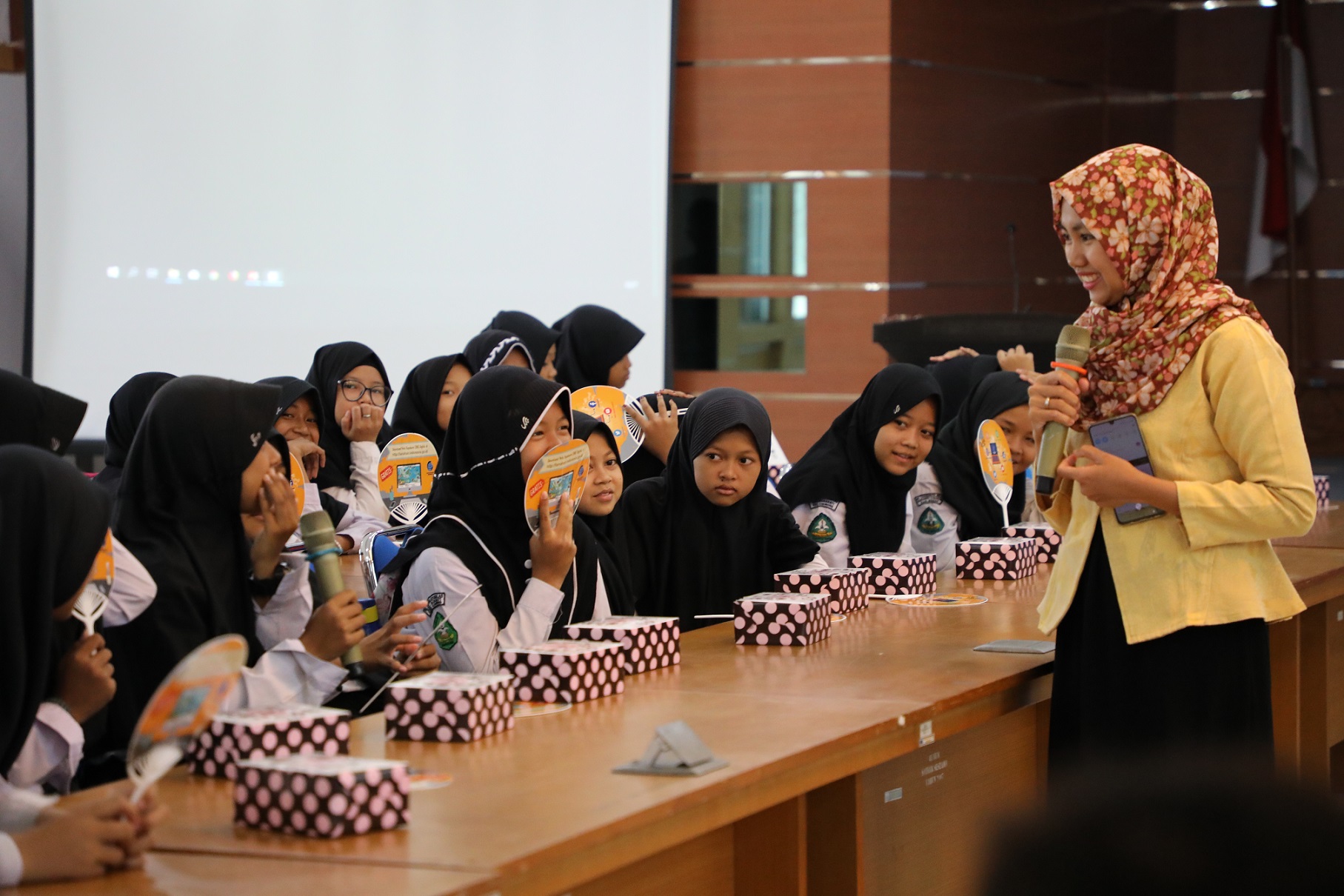
Cibinong, Bogor - The Geospatial Information Agency on Friday, November 1, 2019, received a study visit from the madrasa ibtidaiyah Tarbiyatul Aulad. Taking the theme "Increasingly Love the Map with Big" 85 students received an explanation of the map and how it was made.
Head of services and products, Theresia Retno Wulan in her remarks conveyed that when abroad children have been taught about maps since childhood, this should also be done in Indonesia. According to him, national defense starts from getting to know our own country.
The activity initiated by the BIG Dharma Wanita Persatuan is still in the series of the 50th Geospatial Information Day.
Namik Amini, a representative of Dharma Wanita in the field of education, said that the purpose and aim of this event were for elementary school children to know BIG as an office that issued maps so that it would become increasingly known to the public.

Before the presentation of the material began, BIG gave a memorable memory to the head of MI Tarbiyatul Aulad in the form of the latest map from BIG to support the education of students.
Next, the students were invited to the BIG main field to learn how to use drones as one of the ways to make maps guided by Dian Ardiansyah from the Research, Promotion and Cooperation Center.
Fahrudin Mustafa from the Center for Spatial Planning and Atlas explained the material on how to understand the region through maps and atlases. He introduced students to map elements such as points, lines, text, and areas. According to him, Indonesia is very strategic in the world arena, because it is located between two oceans and two continents. So it is compulsory for students to get to know their country, starting from simple things like knowing where the region is.
The last material was delivered by Dwi Maryanto regarding the introduction of disaster maps. Children are taught to identify disasters caused by nature and humans and how maps can be used to anticipate and assist the post-disaster recovery process.
