Yogyakarta, Geospatial News - Awareness of the importance of Geospatial Information (IG) currently continues to increase, both from the Ministry / Institution, academics, the wider community, not least for the Regional Government (Pemda).
At the Ros in Hotel Yogyakarta on Friday, October 25, 2019, a Memorandum of Understanding and Work Plan was signed between the Geospatial Information Agency (BIG) and the Bantul Regency Government.
The signing of the Memorandum of Understanding and Work Plan is a follow up to the direction of the President of the Republic of Indonesia regarding development planning which must prioritize the Integrative and Spatial Holistic Thematic values. (THIS).
Strengthening the National Geospatial Information Network (JIGN) is also one of the concentrations of the planned memorandum of understanding between BIG and the Bantul Regency Government.
BIG Chief Hasanuddin Zainal Abidin revealed that so far BIG as the agency providing Geospatial Information has always been open about the utilization of Geospatial Information, especially for local governments.
"Of the five hundreds of regencies in Indonesia, there are only about one hundred regency cities that have been connected to JIGN. For this reason, I hope that Bantul regency in the future can become a regency that can optimize this JIGN," Hassan said.

While the Regent of Bantul Suharsono who was also present at the signing ceremony explained that with the fourth largest area in Yogyakarta Bantul has a large potential for spatial planning and utilization of Geospatial Information.
"With the signing of a joint agreement with BIG, I hope that the utilization of the implementation and application of Geospatial Information for regional development, especially in Bantul Regency, can run quickly, accurately and accurately," said Suharsono.
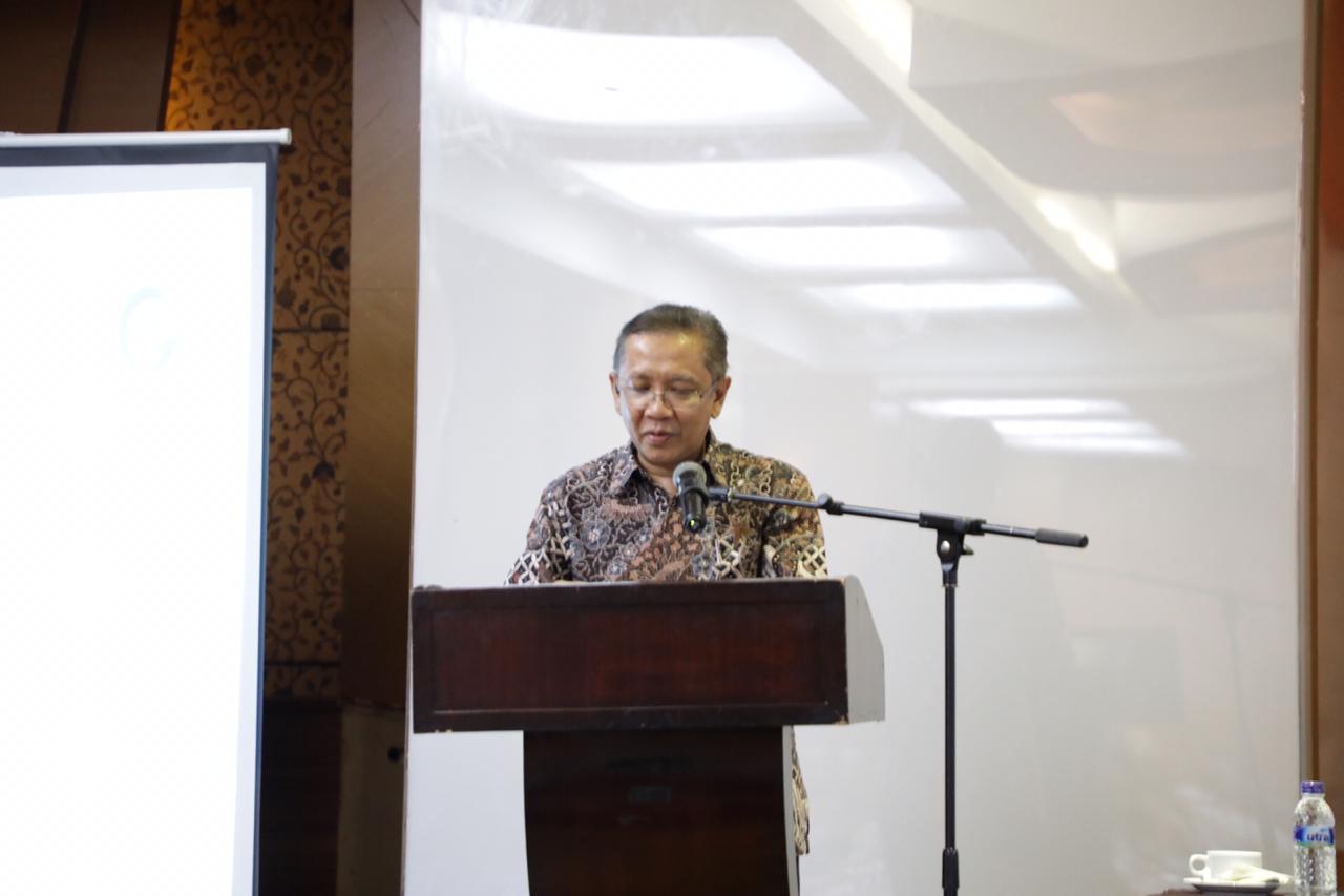
Present at the event were high-ranking officials within the BIG and Bantul Regency Governments.
Furthermore, after the signing of a joint agreement and work plan between BIG and Bantul Regency, the event was continued with the presentation from the Geospatial Information Institutional Center (PSKIG) Center for Boundary Mapping Center (PPBW) material submitted including mapping and affirmation of village and regional boundaries and development of Geospatial Information HR Center.
Coordination of collaboration and collaboration between BIG and the Regional Government or other government administrators is one of the applications of the mandate of law number 4 of 2011 regarding Geospatial Information and to support Indonesia's One Map Policy and One Data Policy. (/ AR).
