Cibinong, Geospatial News - Planning for sustainable development now requires accurate spatial information. Spatial information, or more commonly known as Geospatial Information, is a component that cannot be released in planning development, not least for local governments.
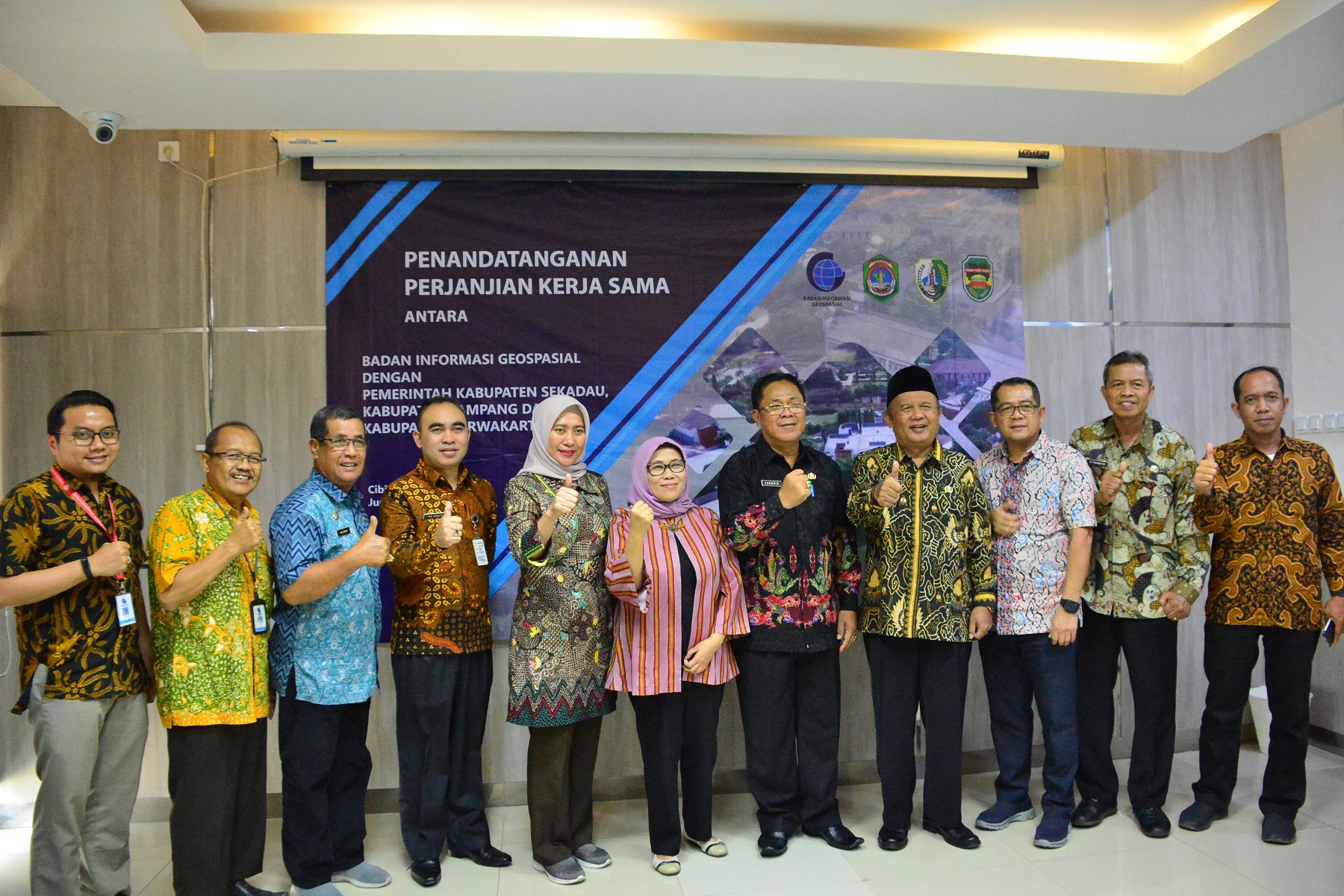
On Friday, October 4, 2019, located in Building C, 1st Floor, the Promotion and Cooperation Research Center, 3 (three) local governments carried out the Signing of Cooperation (PKS) with the Geospatial Information Agency (BIG).
Present at the event was the Head of the Promotion and Cooperation Research Center Dr. Ir Wiwin Ambarwulan M.Sc, Purwakarta Regional Secretary (Sekda) Iyus Permana, Sekadau Zakaria Secretary and Head of the Bappedalitbang Sampang Kustantinah Research Division
In his remarks, Wiwin said that currently coordination and collaboration between the central government and regional governments is something that must be carried out in the current modern era.
"The high interest of the local government in implementing cooperation with BIG shows the increasing understanding of stakeholders and the existence of Geospatial Information (IG) which is increasingly needed," added Wiwin.
In line with wiwin Secretary of Purwakarta Iyus permana said that currently the role of Geospatial Information is very much needed, especially in future development planning.

"The stakeholders in the region at this time, really need IG is very important for development in the future," said Iyus.
While Sekadau Secretary of West Kalimantan, Zakaria, revealed that currently, the area needs verification of village boundaries, this is what drives Sekadau Regency to establish cooperation with BIG.
"We need verification of mapping and affirmation of village boundaries, and therefore we (local government) establish cooperation with BIG," Zakaria said.
The signing of the cooperation agreement is a routine activity carried out by the Geospatial Information Agency (BIG), this is an effort of BIG as the central agency responsible for organizing Geospatial Information to assist national development planning, especially for local governments.
After the implementation of the collaboration between BIG and the regional government, it is expected that the results of the implementation of this activity can support the development of regional potentials in the regions that have an impact on economic equality in society. (/ AR)
