Cibinong, Geospatial News - Boundaries in an area often become a "hot ball" for both the regional and central governments, currently the Geospatial Information Agency (BIG) as the only agency organizing Geospatial Information (IG) is actively conducting socialization and cooperation on the importance of the role of the IG for boundaries is no exception with the Regional Government of Purwakarta Regency.
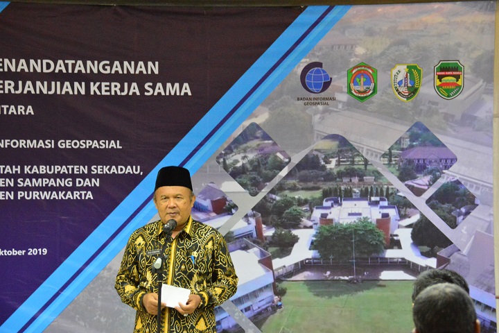
On Friday, September 4, 2019, located in Building C, 1st Floor, the Promotion and Cooperation Research Center, 3 (three) local governments signed the Cooperation Agreement (PKS) with the Geospatial Information Agency (BIG). Including Purwakarta Regency.
According to Purwakarta Regional Secretary Iyus Permana who was present at the signing ceremony this time with a fairly wide area coverage of 17 subdistricts, 9 villages, and 183 villages of Purwakarta Regency greatly requires Geospatial Information for their region.
"Purwakarta has a wide enough territory, now we need accurate Geospatial Information especially for delineation of the village and urban boundaries," said Iyus.

In addition, Iyus revealed that with village and kelurahan boundaries that had not been spatially verified, there was still a lot of potential conflict in the community, for this reason, he hoped that the signing of the cooperation would be significantly reduced.
In the event that took place at ten o'clock in the morning, Iyus along with the other ranks of the Purwakarta Regional Government was received by the Head of the BIG Promotion and Cooperation Research Center Dr. Ir Wiwin Ambarwulan M.Sc
Wiwin said that the signing of the Cooperation Agreement between BIG and Purwakarta is something that should be appreciated because the existence of this cooperation agreement indicates that many local governments are already literate about the importance of Geospatial Information not only for development but also for mapping boundaries.
"Today a cooperation agreement with the Purwakarta district regarding cartometric delineation of villages/villages is very good," Wiwin said.
In addition to cooperation on boundary delineation, the Purwakarta district government also signed cooperation on the data collection of standardized topographical names on artificial Purwakarta areas. (/ AR).
