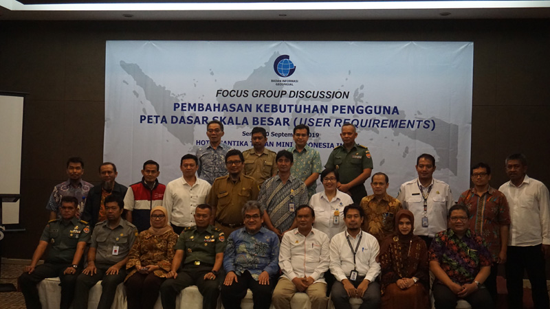
Geospatial News, Jakarta - Head of the Large Scale Mapping Acceleration Preparation Team Ade Komara explained the debate about the need for elevation data on a large scale map. For some parties, height data is not widely used, but in some cases, the data can be very crucial. Ade raised the case in West Java.
The West Java Provincial Government wants to maintain the North Bandung Region (KBU) as a conservation area. The provincial government does not want KBU to experience changes in land use as happened in the Puncak area. Uncontrolled development causes absorption areas to decrease. This could cause landslides or floods in the downstream areas.
According to the Governor of West Java Regulation No. 30 of 2008, KBU is an area that covers parts of Bandung Regency, Bandung City, Cimahi City and West Bandung Regency with the north and east bordered by a topographic ridge connecting the peaks of Mount Burangrang, Masigit, Gedongan, Sunda, Tangkubanparahu and Manglayang, while in the west and south bounded by a line (contour) 750 meters above sea level (masl) which is geographically located between 107 ° 27 '- 107 ° East Longitude, 6 ° 44' - 6 ° 56 'South Latitude.
Although it was clearly defined in the regulations, there were difficulties in determining the 750-meter boundary line because at that time there was no data about it.
"This is our main trigger at BIG to start a 1: 5,000 scale mapping program. there are rules that you want to uphold. When KBU on the spatial map will become a special area, of course (elevation data) is really needed, "explained Ade.

Height data is also needed in the preparation of the Spatial Detail Plan (RDTR). However, because the data is not yet widely available, there was an announcement of the data in the preparation of the RDTR.
"That's not right, the data is needed as a 3-dimensional spatial analysis for its preparation," Ade explained.
Apart from the debate about the need for height data, Ade said that geospatial is still a new term in Indonesia. In other countries, there has been a lot of research that shows that geospatial information has a relationship to the macroeconomy.
"There are many examples of the use of geospatial information. Up to the micro-level in the city, how can the city save millions of dollars just by optimizing the garbage truck lane using geospatial information, "said Ade (MAD)
