The government has adopted a new approach to national and regional development planning. A holistic, thematic, integrative, and spatial (THIS) approach is expected to increase the effectiveness and efficiency of the national priority agenda targets.
To support this concept, spatial intelligence is needed
At the governmental level, spatial intelligence is needed to develop sound development planning. Especially in supporting planning
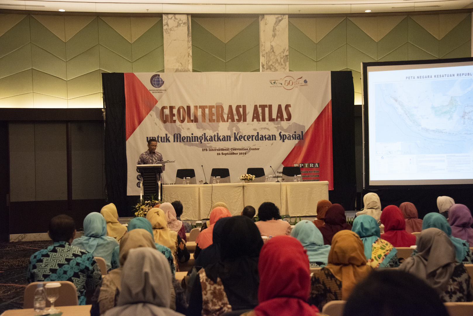
This was conveyed by the Head of the Geospatial Information Agency (BIG) Hasanuddin Zainal Abidin when opening the Workshop "Atlas Geoliteration to Enhance Spatial Intelligence" at the IPB International Convention Center. The activity was attended by 115 teachers who are members of the Geography Teacher Subject Meeting (MGMP) of High School Geography in Jabodetabek.
"I once met the mayor who asked about the use of maps. 'We have a lot of maps and the data is good, but how to use them.' In this case, spatial intelligence is needed to understand maps and actualize them in development planning, "he said.
Hasanuddin also explained that the term geospatial information has been used internationally. However, its use in Indonesia is not yet popular. Geospatial information comes from the word geo which means earth, and spatial which means space.
"Geospatial information is the science of were, all kinds of information about locations," Hasanuddin explained.

Scientifically, geospatial information is supported by geodesy, geomatics, and geography. Hasanuddin regretted that geospatial information was currently only found in social studies subjects. In fact, science, such as geodesy, requires the basics of science. For this reason, Hasanuddin advised teachers to slip geospatial information into science lessons.
"If possible, geospatial information has begun to be imposed since elementary education. All that's left is to adjust the material, "Hasanuddin said.
At the same activity, present Yudi Latif, Member of the Indonesian Academy of Sciences. He highlighted geospatial information as an important element in understanding nationality.
According to Yudi, Indonesia is an extension of the Asian Continent and an Australian Continent extension where there are meeting points that allow connections and biodiversity. Indonesia is a major crossing.
"If we look at the geography, we live in the middle of the ring of fire, there are four tectonic plates in Indonesia. This situation makes Indonesia a disaster-prone region, but there are gifts from volcanoes in Indonesia, "said Yudi.
For this reason, spatial insight is needed so that we can live in harmony. When referring to cultural history, our ancestors have developed concepts so that their offspring can make peace with the threat of natural disasters.
"Almost every religion and culture develops three-way harmonization, maintaining harmony with the world above: divine, with the middle world: fellow human beings, and the bottom world: the realm of life," explained Yudi.
Yudi also explained that the spatial approach is one of the steps in creating equitable development. According to him, justice has to do with the way we carry out spatial-based development. He cited how millions of hectares of rice fields were created on inappropriate land. Meanwhile, rice paddies in Java actually changed their function to become an industry.
"Maybe if from the beginning of development based on spatial, we can see industrial centers spread and turn the wheels of the economy in each region of Indonesia," explained Yudi. (AFN)
