Bandung, Geospatial News - Today the need for geospatial information in supporting the acceleration of development is very high, especially the provision of geospatial information on a large scale to local governments in various regions in Indonesia. For this reason, the Geospatial Information Agency (BIG) cooperates with various institutions, both Ministries / Institutions, Regional Governments, Universities, and Private Universities. In line with this, to increase the acceleration of the provision of geospatial information and increase the capacity of Human Resources for geospatial information (IG), BIG conducts Collaboration with Universities.

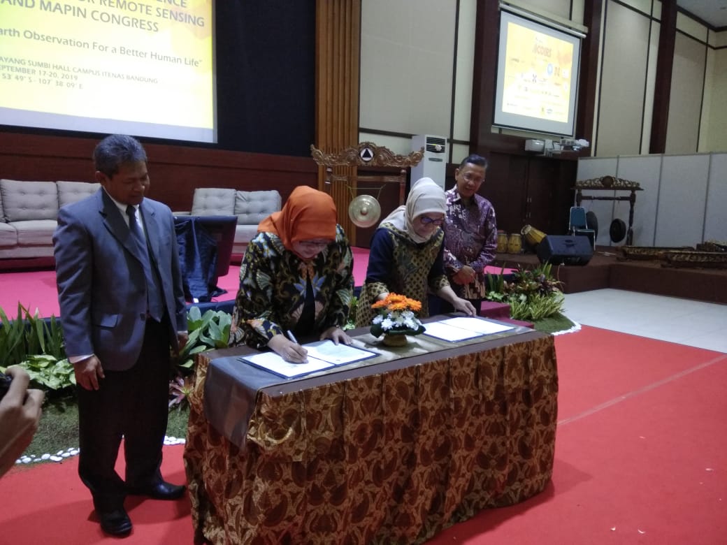
This time on September 17, 2019, at the Campus of the National Institute of Technology (ITENAS) Bandung West Java, BIG signed a Cooperation Agreement with ITENAS. The Signing of this Cooperation is an implementation of the signing of the MoU that had been done before. This time there were 3 Cooperation Agreement Signatures, including the following: 1. Provision and Improvement of Human Resources in the Making and Updating of Large and Medium Scale Maps, 2. Provision and Improvement of Human Resources for Surveying and Measuring Soil Control Points, 3. Preparation of Grand Design and Implementation of the Acceleration of Provision of Large Scale Maps.
The signing was held at the opening of the 5th International Conference of Indonesian Society for Remote Sensing (ICOIRS) and MAPIN Congress, the signing was carried out by the Head of the Rupabumi and Toponym Mapping Center (PPRT), Ida Herliningsih and Deputy Chancellor for Planning and Cooperation of the National Institute of Technology, Dewi Kania Sari . The signing was witnessed by the Head of BIG, Hasanuddin Z. Abdin and Rector of ITENAS, Imam Aschuri as well as Participants from resource persons and ICOIRS participants from within and outside the country.
