Bandung, Geospatial News - Advances in technology in the spatial world make spatial research more rapid.
For this reason, on Tuesday (17/09) the Geospatial Information Agency (BIG) participated in the international seminar "The Firth International Confirmations of the Indonesian Society for Remote Sensing (ICOIRS) 2019".
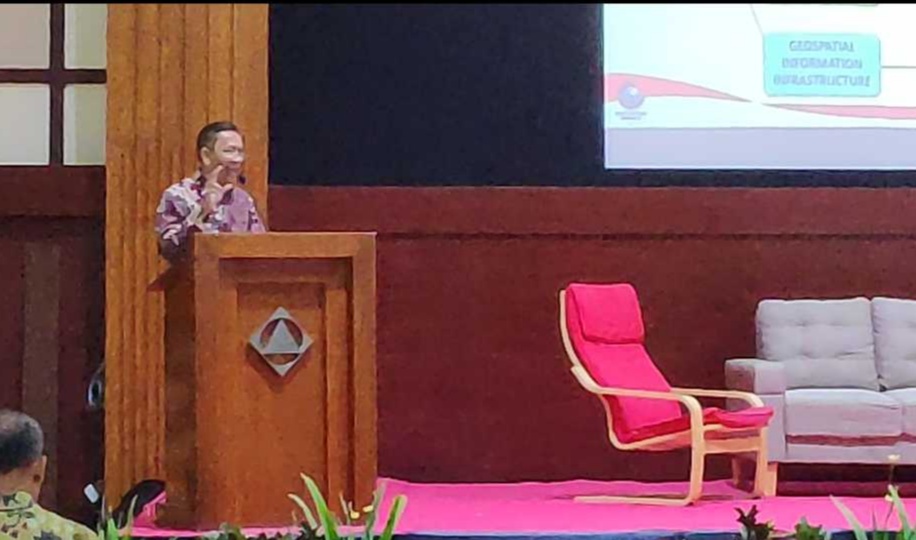
The event which took place at the Bale Dayang Sumbi National Institute of Technology (Itenas) Bandung was attended by the Head of BIG Prof. Dr. Hasanuddin Z Abidin, Deputy of Remote Sensing Lapan, the Representative of the Governor of West Java and the ranks of the Itenas rector.
The event brought together researchers, policymakers, and practitioners from developed and developing countries to share insights on the challenges and opportunities of remote sensing technology and their application in solving the problems of Indonesia in particular and Southeast Asian countries.
In this activity also the Chief of BIG gave a presentation on the importance.

One map and one integrated data.
"KSP and one data urgency is to integrate data between the Regional Government and the Central Government," said Hasan.
Not only that, Hasan added that the Government, in this case BIG, needed help from various stakeholders involved in the spatial world.
"BIG has a lot of work to do such as large scale mapping from one to twenty-five thousand, we need support from all relevant stakeholders
The ICOIRS activity in 2019 took the theme "The Revolution Of Earth Observation For Better Human Life"
In addition to BIG seminars also took part in the Exhibition with the theme of Excellence and Innovation carried out by the BIG Research Field. (/ AR)
