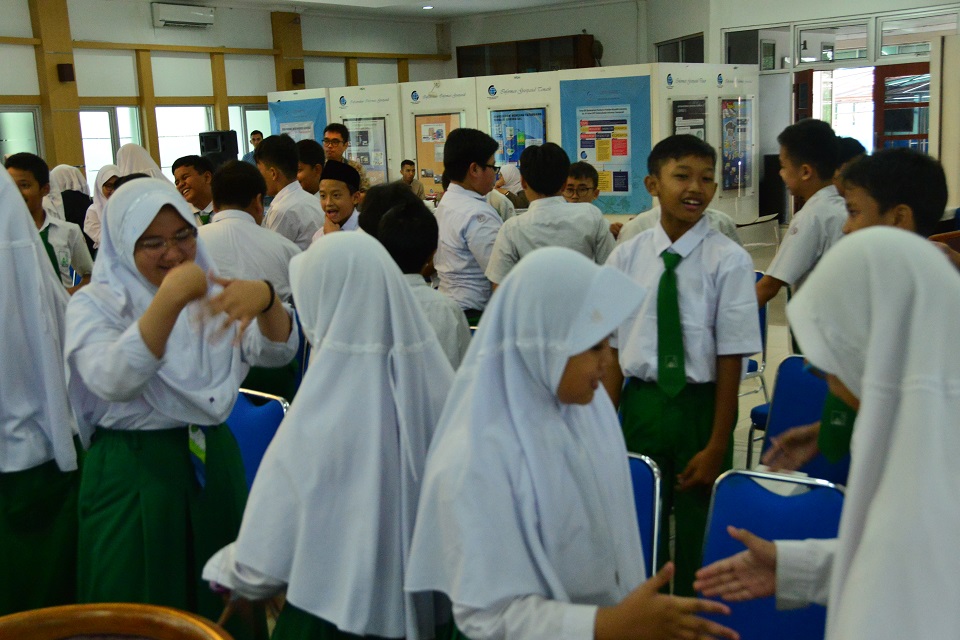
Cibinong, Geospatial News - Geospatial Information Agency (BIG) is often visited by various educational institutions ranging from elementary schools to tertiary institutions. On Tuesday, March 12, 2019, a total of 76 students from Al Azhar Elementary School Syifa Budi Cibinong, Bogor, conducted a study visit to the BIG Office, Cibinong. The visit was held in order to introduce BIG as a provider of Geospatial Information (IG) in Indonesia to students. The group was welcomed at Building S, Level 2, BIG Main Hall by representatives of the BIG Research Center, Promotion and Cooperation (PPPKS), Agung Teguh Mandira, along with guest speakers from several work units in BIG.
The program began with remarks from one of Al Azhar Elementary School teachers, Syifa Budi Cibinong, Bogor, Ika. He thanked BIG for giving the opportunity to students of Al Azhar Elementary School Syifa Budi Cibinong, Bogor to visit BIG. "This visit was carried out in order to get to know better what IG is, one of its main products is maps. Thank you for the open acceptance of BIG, hopefully this visit can be useful for students, "Ika said.
Agung Teguh Mandira, Representative of the BIG Research Center, Promotion and Cooperation (PPPKS) revealed that in principle BIG is very open to all institutions that want to visit to share knowledge. "BIG as a government institution is very open to all levels of society who want to make a visit," said Agung.
The event then continued with the first presentation related to BIG's profile by Achmad Faisal N. who was also a moderator in the visit at the time. Participants were given an explanation of the role of BIG in government, the duties of employees at BIG, and various kinds of benefits of IG in everyday life.
After that was a presentation on 'Understanding Regional Potential Through Maps' by representatives of the Center for Spatial Mapping and Atlas BIG, Satrio Jati. In his presentation Satrio explained that maps can be a benchmark or reference for natural resources, human resources, boundaries to development references.
Abed Nego Baputra, Staff from the Field of Disaster and Climate Change, then filled out material on Unmanned Aerial Vehicle (UAV) or unmanned aircraft. According to Abed, UAV or one of the best known types in Indonesia is drone, has its own advantages and disadvantages. "One of them is that in terms of time it is more effective and efficient, but the drawback is that if the UAV or drone is not treated properly, it will be vulnerable to damage quickly," said Abed.
Today's visit was then concluded with material from the Boundary Mapping Center (PPBW) delivered by Najib Khoerul Amin. Najib explained the function of maps in determining territorial borders in the Unitary State of the Republic of Indonesia. Hopefully this visit can increase the knowledge of the visiting participants. So they increasingly understand the benefits of IG and can apply it later study. (AR / LR)

